VOLUNTEERS and STUDENTS

There are different ways you can join the research station.

Citizen Science Volunteers can help with the conservation research and join an 8-day expedition to do wildlife surveys and visit with local communities. Expeditions are led by Dr Richard Bodmer and the science staff team and usually have 8-12 volunteers. You will experience tropical biodiversity, local communities and active Amazon conservation.

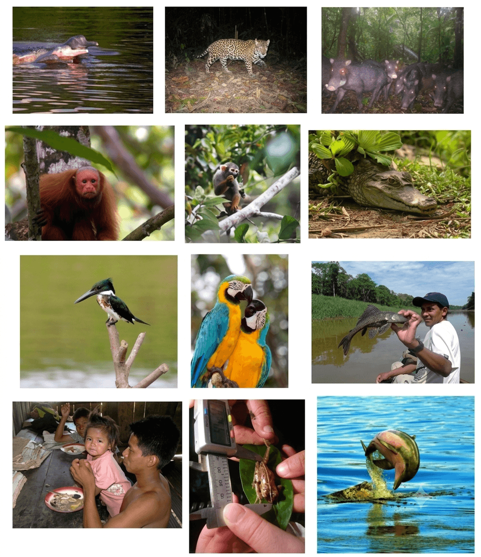
You will work with knowledgeable scientists on surveys of dolphins, macaws, caimans, shorebirds, primates, terrestrial mammals, forest birds, frogs, bats, and fish, among others. You will learn about hunting and fishing by Indigenous people, and community-based and protected area conservation.
Your help collecting data and working with the research teams are vital for our long-term research to help save the Amazon. You do not need past experience, we teach you the methods and all you need to know for the surveys. Students, teachers and others can apply for a Fundamazonia fellowship to help cover fees.

Students can conduct BSc, MSc, PhD and Post-Doc projects at the Research Station. Students can either become involved in on-going research or develop their own projects around their individual interests. Students conducting research can use data from previous years for comparisons and multi-year analyses. This is especially important for studies on climate change. Fundamazonia fellowship support can help cover fees of student projects.

Field courses are available for final year secondary (high) school level, and college and university levels. The courses are on Amazon Wildlife Ecology and Conservation that cover topics of Dolphin Ecology and Behaviour; Ecology of Terrestrial and Arboreal Mammals; Avifauna Ecology; Ecology of Reptiles and Amphibians; and Fish Ecology and Fisheries. Major themes cover Climate Change, Sustainable Use, Community Conservation, Green Economy, and One-health. Tailored field courses can be organised. Maximum of 20 students.

Wildlife Research and Surveys

Students and volunteers participate on wildlife surveys to study the population of aquatic, terrestrial and arboreal vertebrate animals. Densities and abundances of species are being estimated annually in the Yarapa River basin. Methods will differ between species and include distance sampling, fixed width, line transects, catch-per-unit-effort, point counts, age structure and camera traps.

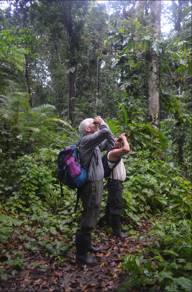
On terrestrial transect surveys we will walk on trails in the rainforest and look for primates, large birds, and any other mammal that is there. The trails are about 5km round-trip and we walk slowly to find the animals. When we see an animal we record its distance from the trail, habitat, and how many there were, among other information. Escribe aquí tu párrafo
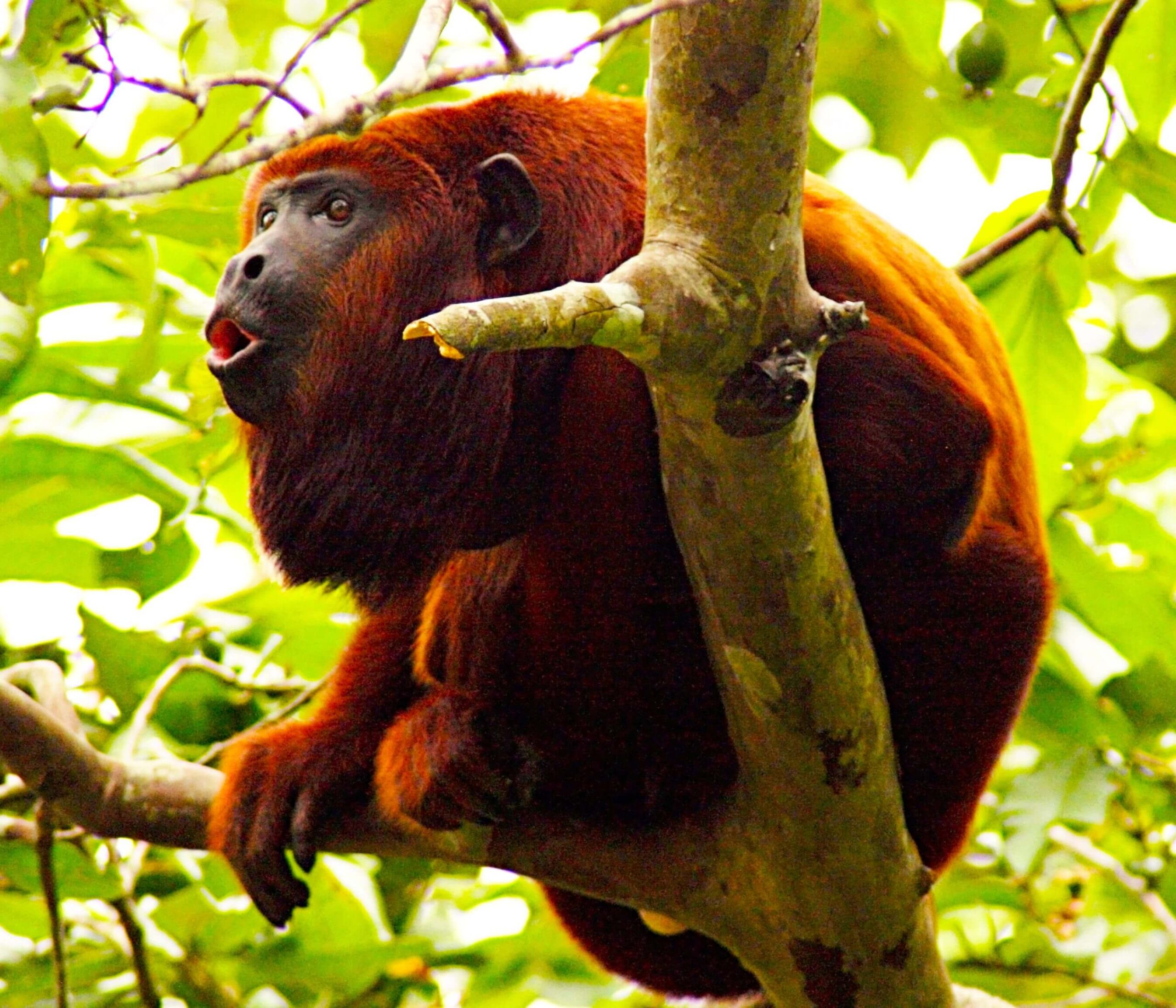
We survey terrestrial mammals (ungulates and terrestrial rodents), arboreal mammals (primates and other arboreal mammals) and game birds using transects. Trails of an average of 3 km long are walked at approximately 1 km/hour. We use the distance sampling method and observers walk transects between 07:00-12:00 hours in the morning and 14:00-17:00 hours in the afternoon. When a group of animals is encountered, the number of individuals is recorded, and the perpendicular distance from the trail to the first individual sighted is measured. Clusters, such as primate troops, are considered as independent units and cluster size is used to determine density of individuals. The data are analyzed using Distance software. Population densities are calculated as number of individuals/km² (ind/km2).

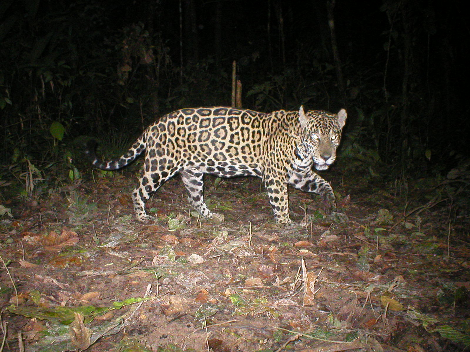
Camera traps look at recent videos of animals filmed at the study site, including jaguar, peccaries, guans, and much more. We use camera traps to count the animals that live on the forest floor, which are difficult to spot by visual observation.

We also survey terrestrial mammals and game birds with Bushnell HD infrared and motion camera traps. Cameras are set over areas of approximately 100 km2 at the study site and distributed across habitat types. Cameras are set at 640×480 pix with 10 sec video capture and 5 sec intervals, using 8 AA alkaline batteries. Cameras are set along 1 km of transect using a width (w) of 100 m for 15-day intervals, selecting new sites on every rotation. Camera traps are checked weekly to determine the battery levels and general functioning of the units. Independent events have a minimum gap of 30 minutes for captures of the same species. Capture rates per species are calculated as independent events as number of individuals/1,000 camera-days (ind/m.c.d.). Camera data can also be analysed using occupancy models.

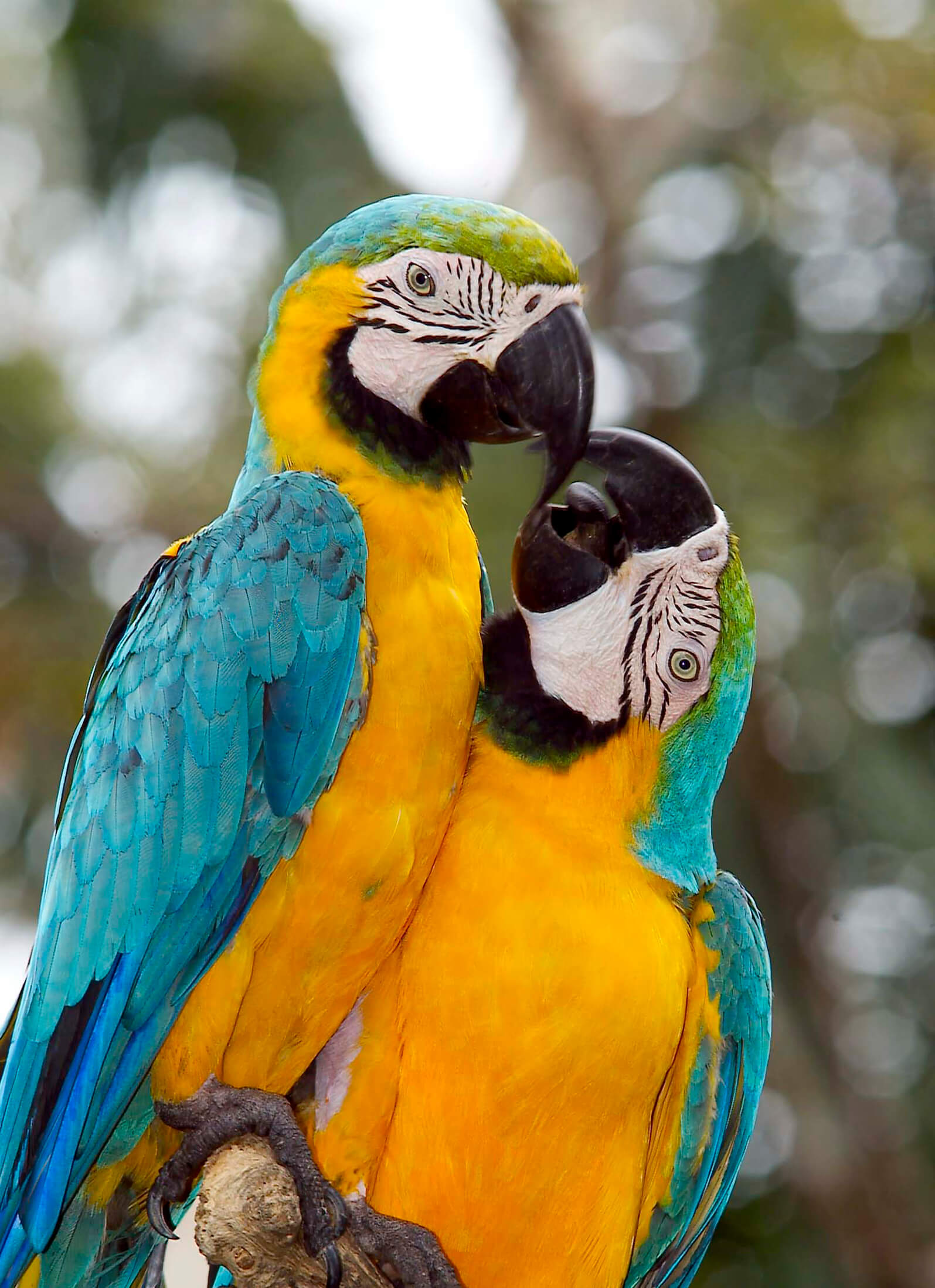
Macaws, parrots and parakeets are surveyed from an open boat for for 15 minutes while tied to the shore. We count all the macaws, parrots, and parakeets that we see and identify the species and count flock size. When the fifteen minutes are up we navigate half a kilometre to another place and count more birds.


We survey macaws, parrots, and parakeets by 15-minute point counts set in sampling units separated by 500 m along the shoreline of rivers, lakes, and channels. Surveys have between 6 and 9 points with 10 shoreline transects. Censuses are done in the morning (5:30-9:00h) and afternoon (16:00-18:30h) when movement is usually unidirectional from roosting to feeding sites (and vice versa). We determine species through visual and auditory identification, and records are taken of number of individuals in a flock and minute of observation. Population trends use number of individuals per point (ind/pt).

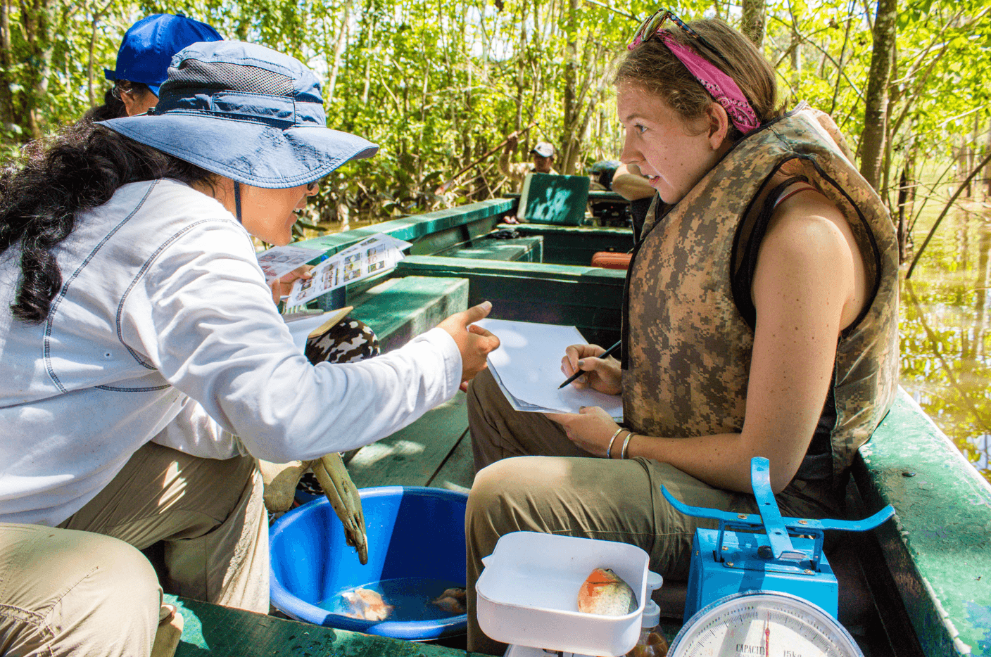
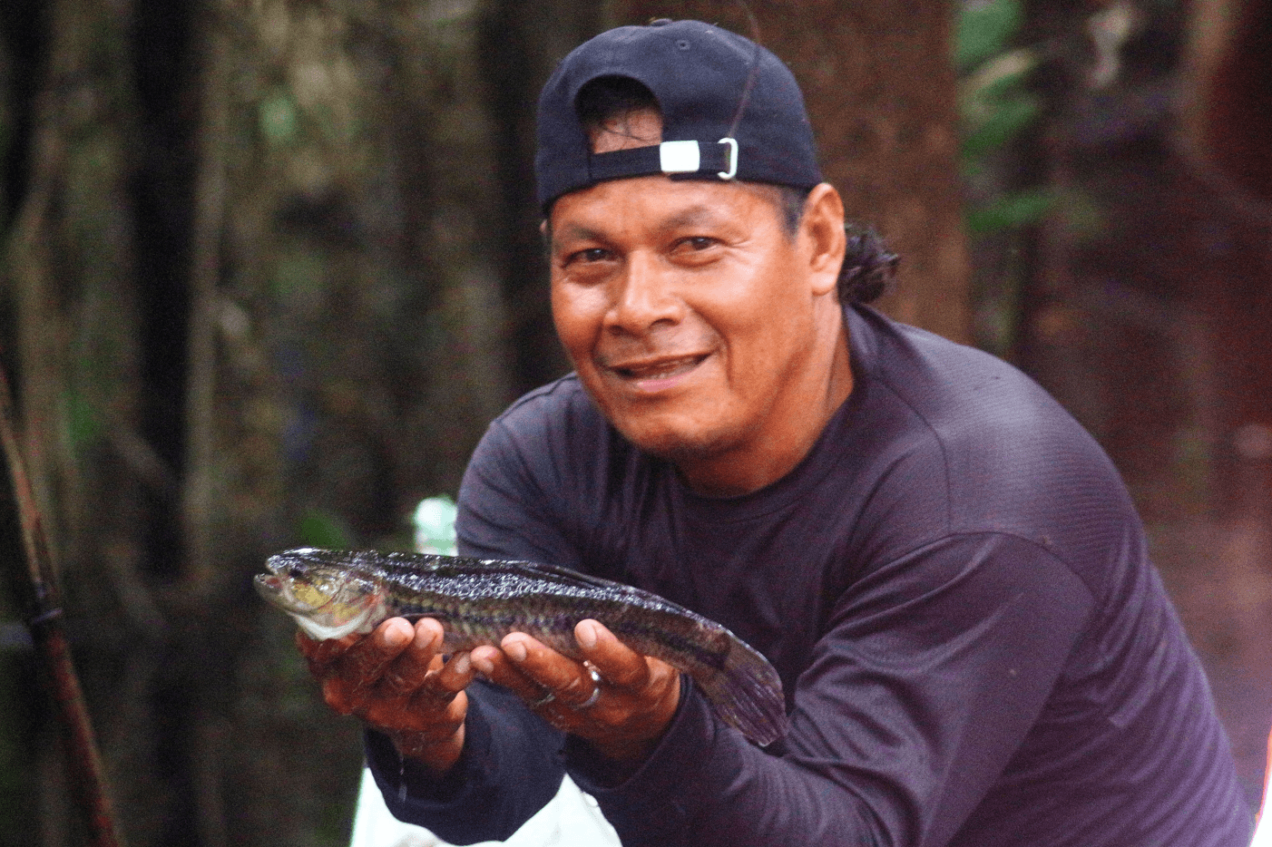
Fish are surveyed from a boat and we set a gill net for one hour along the river or in a lake and during that hour we catch fish with a pole and hook. Fish are identified, measured and released back to the river.
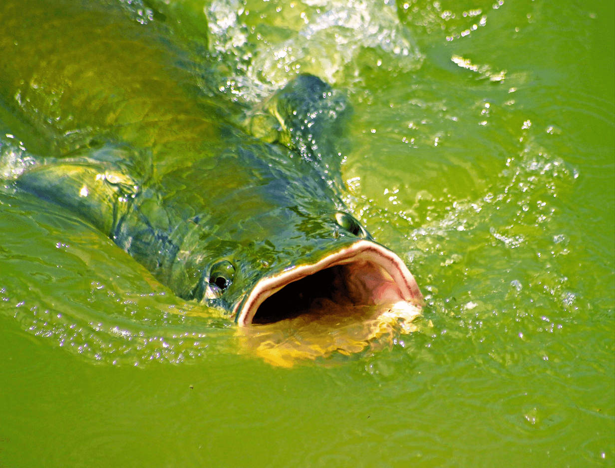
We survey fish using green nylon gill nets of 30 meters long, 3 meters deep, and a mesh size of 3.5 inches set for 1 hour in rivers, lakes, channels, and flooded forest habitats with weak currents in morning (7:00-11:00) and afternoon (14:00-18:00) surveys. Data are recorded on species, weight, standard length, and geographic coordinates. Fish are released back into the water. Catch per unit effort (CPUE) is calculated as individuals per net-hour (ind/net-hour) and biomass per net-hour (kg/net-hour).

Fish abundance is also studied using side-scan sonar. A StarFish450 side-scan sonar set at 4500khz and 1500 m/sec is used to determine fish abundance at shallow points (mal pasos). The sonar is attached to an auxiliary boat using a velocity of 3-6 km/hr and transects of 5 km. Fish reflect white on the sonar from oxygen held in intestines, swim bladders and gills. The sonar also records dolphins.

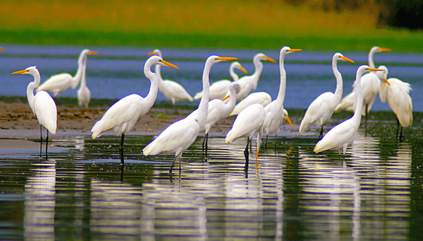
Shorebirds are surveyed by going slowly in an open boat or canoes and counting birds along the river, such as herons, egrets, cormorants, kingfishers, jacana, hawks, and many other species.


We survey waterfowl by shoreline transects in the morning (5:30-9:00h) and afternoon (16:00-18:30h). Shoreline transects of 5.0 km are surveyed along river, lake, and channel habitats with a survey speed of approximately 2 km/hour using an aluminium skiff or by canoes. All perched or flying waterfowl are recorded. Population abundance of species is calculated as number of individuals/km (ind/km).

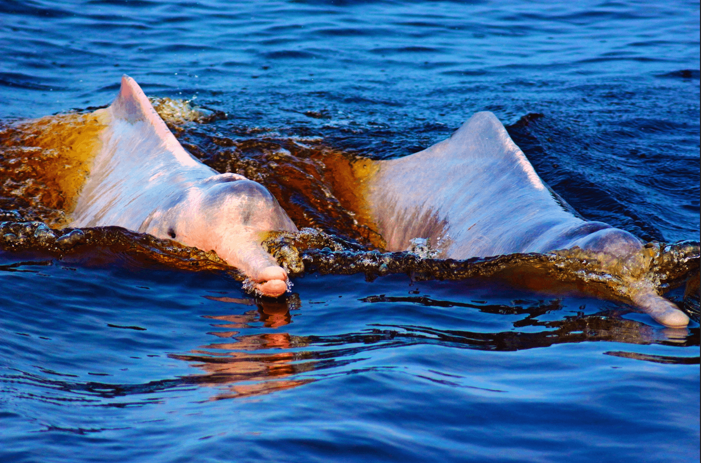
Dolphins are surveyed at areas where the dolphins congregate and we record if the dolphin is a pink river dolphin or a grey river dolphin, and the group size and behaviour. On these surveys we often go to the large confluence area of the Ucayali, Maranon, and Amazonas rivers where dolphins can be found.

We survey dolphins on one hour aquatic point in river, lake. and channel habitats. Surveys are conducted in the morning (7:00-12:00) and afternoon (14:00-16:00). Dolphins are recorded visually when breaching the water surface and the number of dolphins, pod size, and behavior are determined by visual tracking. A 12 m covered launch is used for dolphin transects. Population density of species is calculated as number of individuals/km (ind/km2).

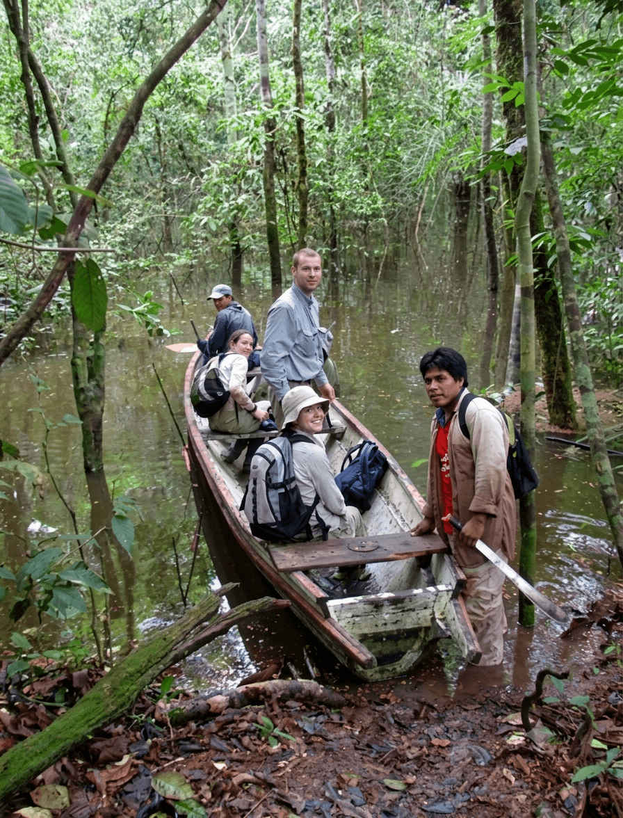
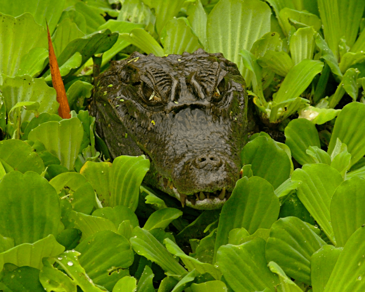
Caimans  are surveyed in an open boat at night and we use spot lights to find the reflection of caiman eyes, and record the species, its size, and habitat. 

We survey caimans through visual counts at night (20:00-24:00h), travelling along 5.0 km transects at a velocity of approximately 2 km/hour on a single side of the river, lake, or large channel (>40m width) or simultaneously on both sides in smaller channels (<20 m width). We locate caimans by their eye reflections using a spotlight and approached to a distance where observations can be made. Survey speed is approximately 2 km/hour stopping when caimans are sighted using an aluminum skiff. Population abundance per species is calculated as number of individuals/km (ind/km).

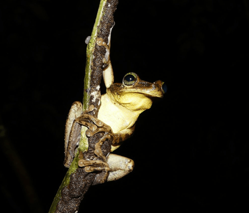
Frogs and toads are surveyed at night in an open boat in floating vegetation along the river. We stop and search for frogs in the vegetation and identify the species and count the number we see. 

We survey amphibians on floating meadows and forest transects. Floating meadow surveys are conducted at night using an aluminium skiff that is carefully driven into the floating vegetation. During a 15 minute period all frogs sighted or captured within a 2m radius of the boat are recorded, including species, sex, size, microhabitat type, habitat temperature, and humidity. Terrestrial amphibian transects of 500m are done during the day and night. Frogs sighted are recorded, including perpendicular distance from the transect.

Fishing bats also known as the greater bulldog bats are surveyed at night by going along the river and finding them with spotlights and a sonar bat box, which produces clicks of the bats sonar.

We survey the greater bull dog bat or fishing bats, Noctilio leporinus, using 5 km nocturnal aquatic transects using an aluminium skiff travelling at 10 km/hr. Bats are counted using a sonar bat box and spotlight. Forest bat species are recorded using multi frequency sonar recording equipment.

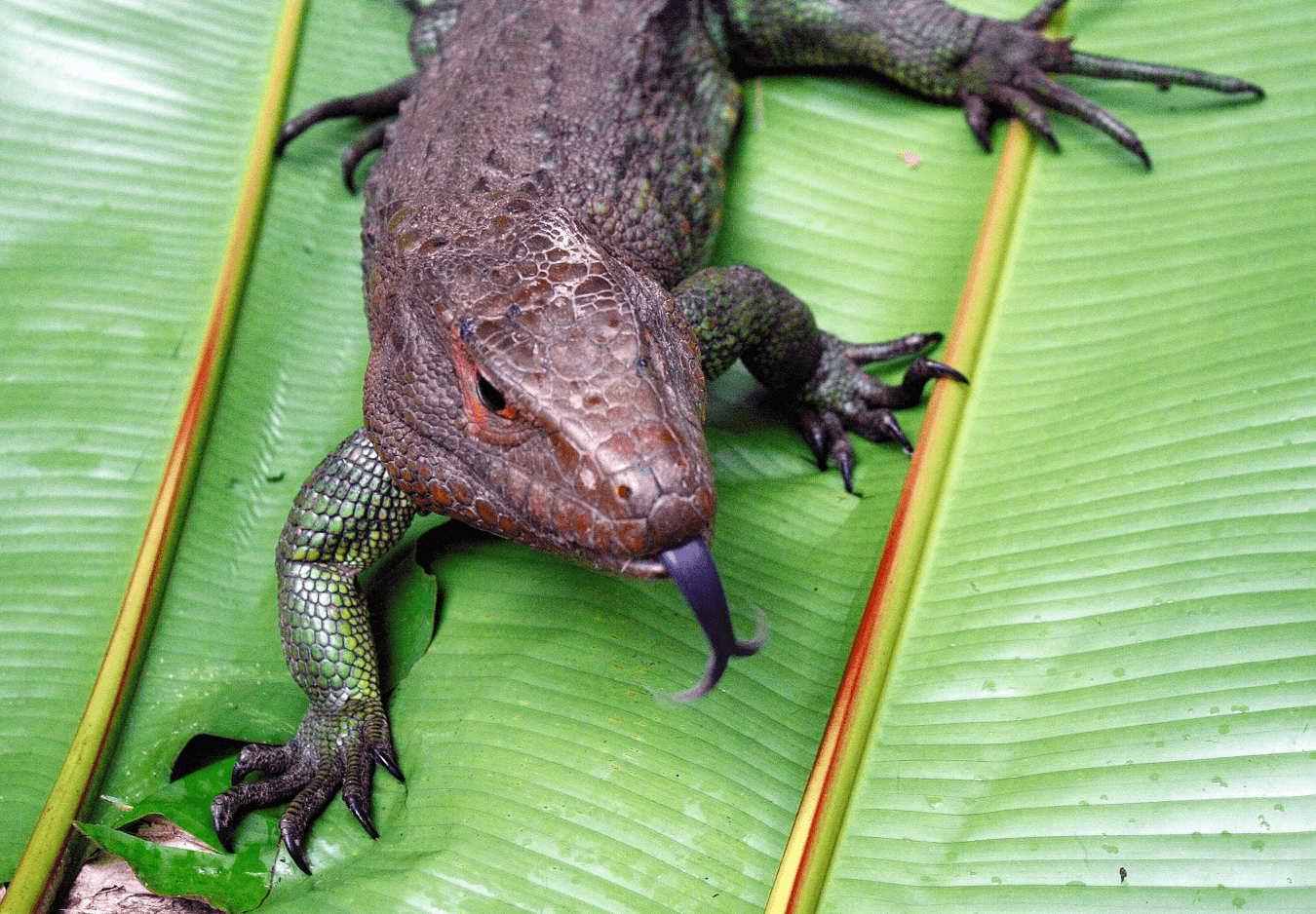
Lizards are surveyed in the forest during the daytime. We walk slowly along a trail and search for lizards and record the species, its size, and habitat. 

Lizards are surveyed along 500m trails in the forests during mid-morning. When a lizard is sighted, a photo ID is taken, the perpendicular distance to the trail is measured, along with height above the ground, the substrate, and an approximate total length. Distance analysis is used to estimate density (ind/km2).


Harvest registers

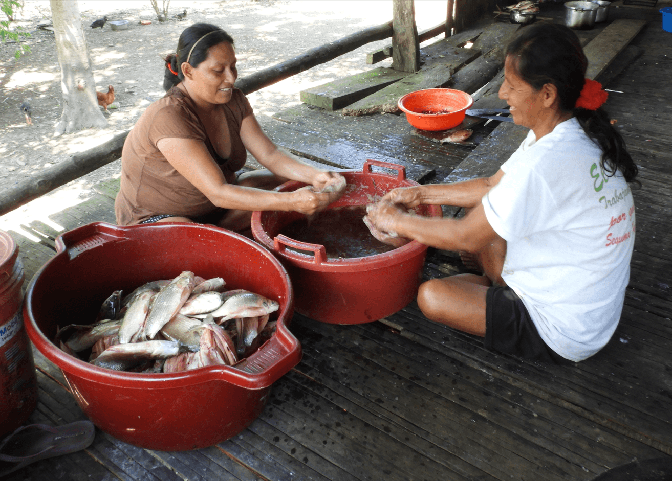
Semi-structured household interviews are conducted with local villagers on the harvesting of fish, wild meat and forest fruit. We use information on resource use of families to understand fishing and hunting activities and annual harvests. Communities also collect their own registers for their management plans.

The Research Station collaborates with the local people and works with the Indigenous communities of Jaldar, Nuevo Jerusalen, Castilla, Villa Belen, and San Joaquin de Omaguas with conservation, education, and health projects. Monthly support is provided to all five communities for health, education, community projects, resource management, among others. Extra support is provided at Christmas, at the start of the school year, and for their village anniversaries.
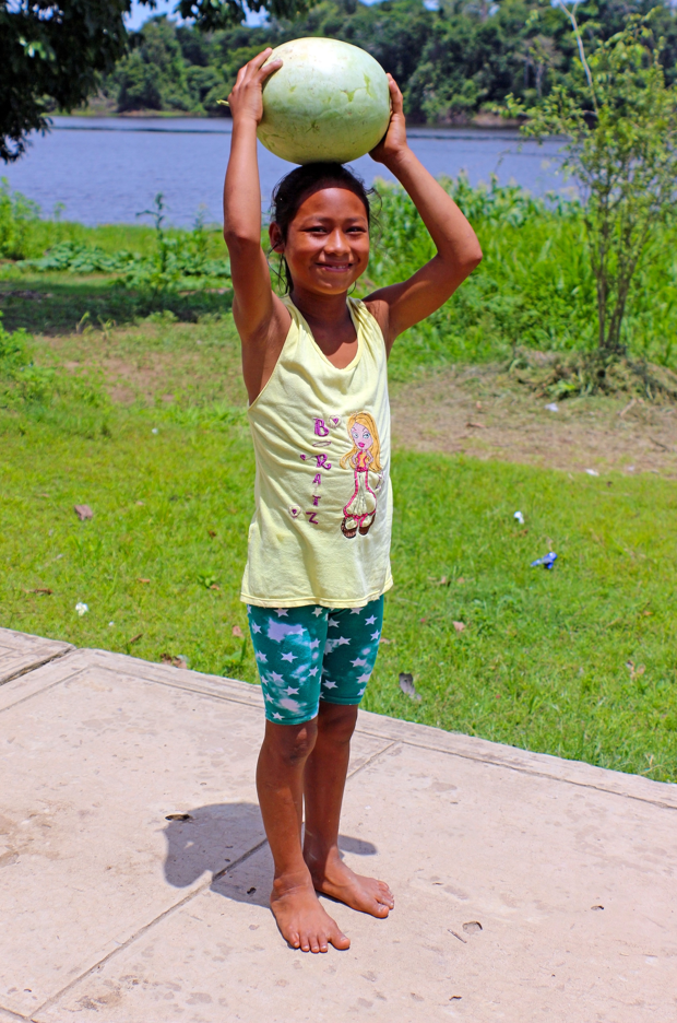

The Research Station hires local field assistants from the villages to help with the wildlife surveys. This allows volunteers to lean from the local knowledge of the Indigenous people, and it provides income for the families. The cook, assistant cook, and room service maids are all Kukama Indigenous women from the nearby town of Nauta.

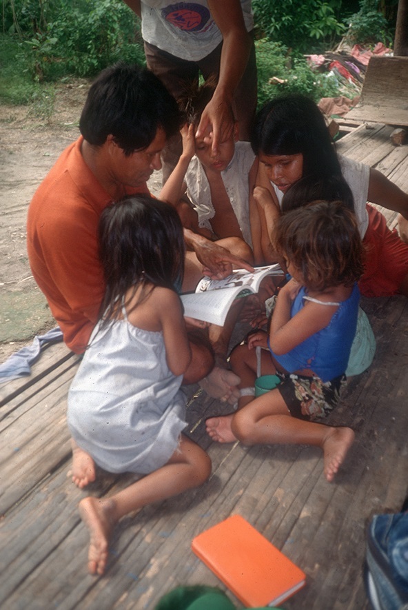
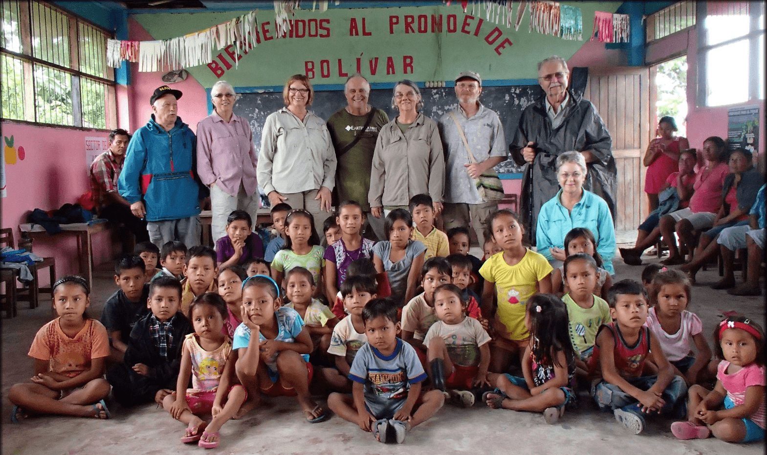
Volunteers and students visit the villages and get to know the people, play football, and sing songs and play games with the kids. Participants should bring some school supplies, or small toys and games to donate to the children.

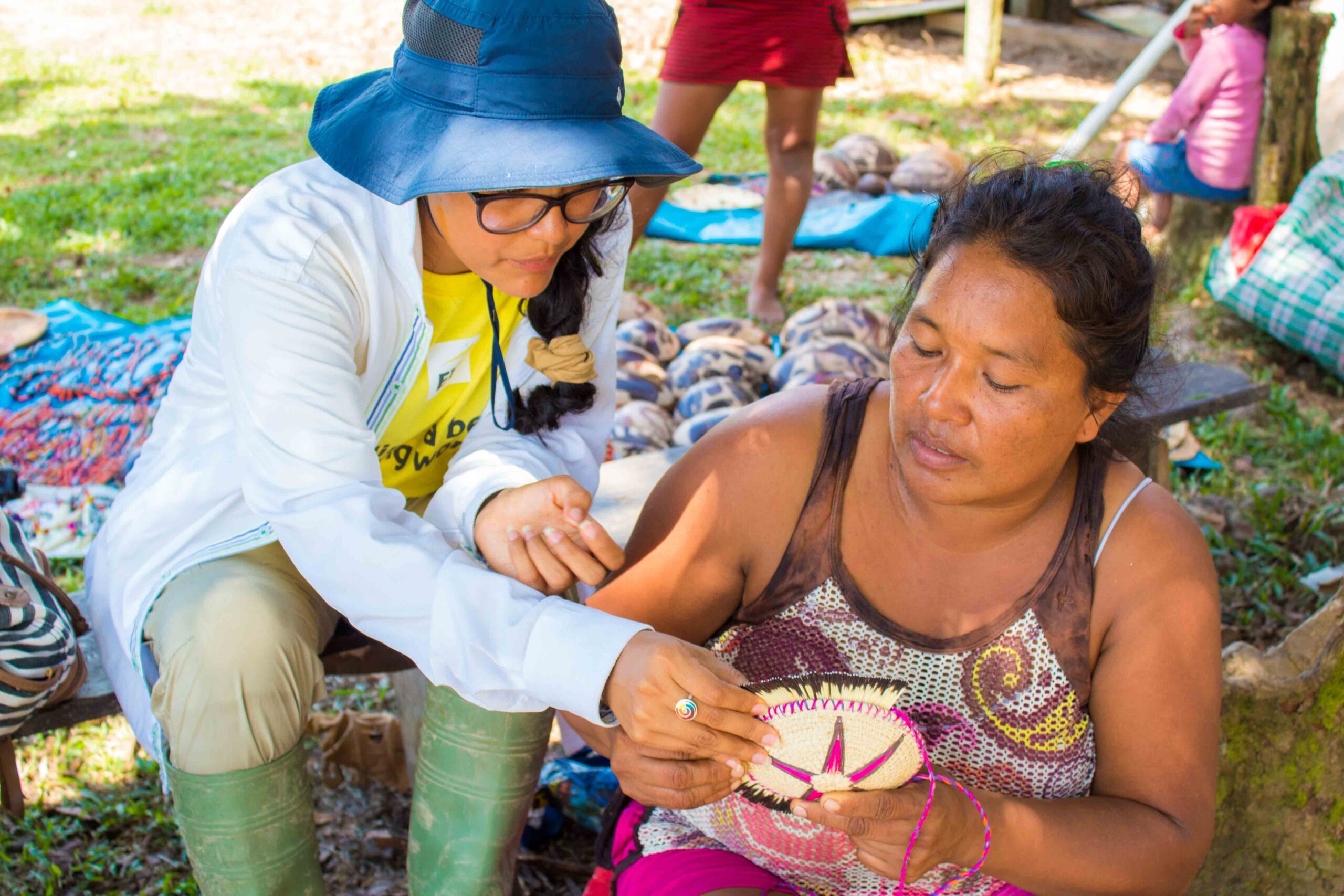
Women make traditional Indigenous handicrafts of the Kukama and Ashuar cultures. Handicrafts are made by the women, and this is an activity that dates back to pre-Colombian times and is passed down from mothers to daughters. It is also a women’s economy where they earn income independent of their partners. When you visit the villages, women will lay out their handicrafts in the traditional manner, and you can purchase some if you like.

The women believe that trees have mothers who are protected by a forest sprit. When the women harvest certain plants they ask permission from the mother of the trees, and that way they take care of the forest and don’t overharvest plants but use them sustainably.


Hunting and fishing are major activities of the men. The studies conducted at the Research Station look at the use and sustainability of hunting and fishing. Results from the research was used by the local communities to set up hunting and fishing management plans. The guidelines for hunting management plans approved by the Peruvian Forestry and Wildlife Service are based on the studies conducted at the Research Station. This is an example of how the research helps local communities, not only at research location, but throughout the Peruvian and wider Amazon.
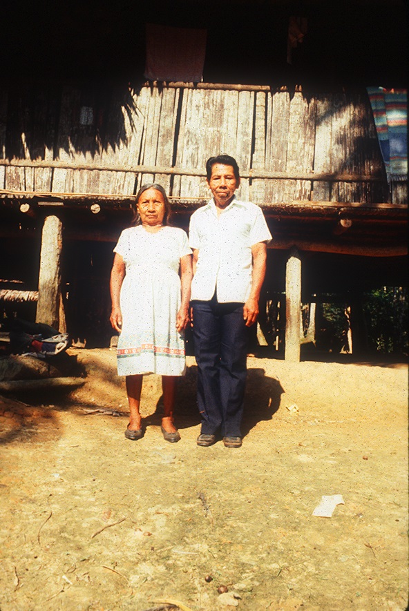
The anthropology and resource uses of the local communities have been studied and how the peoples’ beliefs, cultures, and interest in management are helping to save the forests and wildlife. For example, the pre-Colombian belief about dolphins means the Indigenous people do not kill dolphins, and they stop others who might attempt to kill a dolphin. Thus, through their culture and storytelling, mainly through the women, the communities protect the dolphins, and that’s why there are lots of pink and grey river dolphins in the region.