
YARAPA RIVER RESEARCH RESERVE
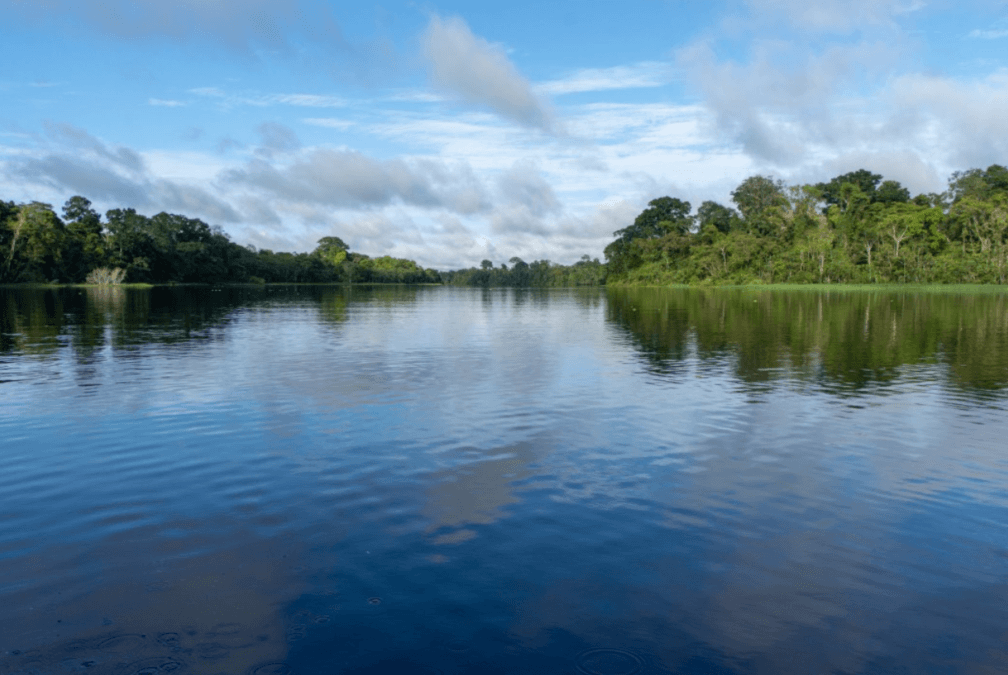
The Yarapa River Research Reserve is the focal study site of the Rio Amazonas Research Station and covers an area of 1,235 acres (500 hectares) of high diversity flooded forests. The Research Reserve was created in collaboration with the local communities and donations from the Bodmer Family.
The Yarapa River Research Reserve is run by Fundamazonia and managed by the Research Station.
The Research Reserve is in the Lower Yarapa River basin in the buffer zones of the Pacaya-Samiria National Reserve and the Tamshiyacu-Tahuayo Regional Community Reserve (Map) and is in the Samiria-Yavari protected area landscape in the Peruvian Amazon of Loreto. The Research Reserve is part of the largest block of várzea flooded forests in the western Amazon that covers over an area of 120,000 km2 in the Loreto region.
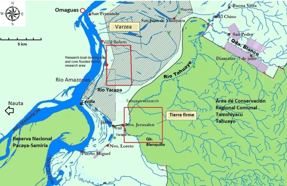
Research is conducted both inside the Research Reserve and in the adjacent community lands through collaborations with the Indigenous people. In addition, the Research Station conducts studies in the upland tierra firme forests of the Blanquillo stream in the upper Tahuayo River basin.
The flooded forest ecosystem of the Yarapa River Research Reserve has abundant wilderness and high diversity of animals and plants. These forests are a continuum between the terrestrial and aquatic ecosystems that form a unique and important part of the Amazon. The flooded forest in the Research Reserve has land formations with varying levels of annual flooding and wildlife lives in an ecosystem that is characterised by large seasonal changes occurring between the high water and low water seasons. The ecology of the aquatic and terrestrial wildlife revolves around these seasonal changes in water level.
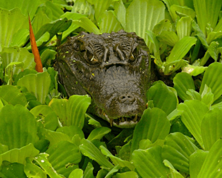
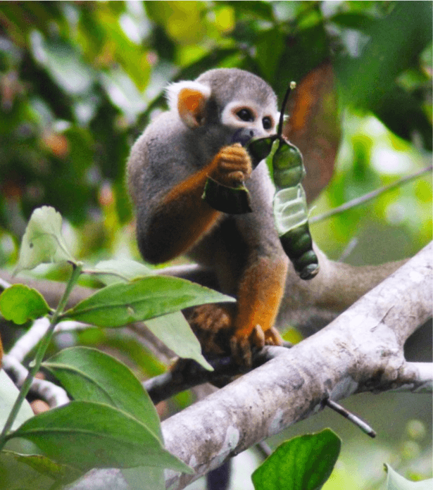
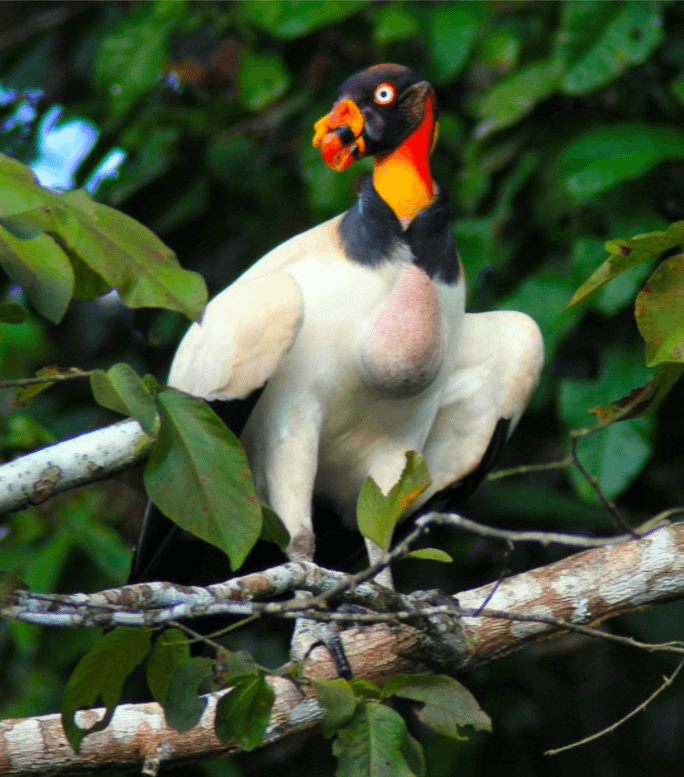
The Yarapa River Research Reserve has a very high diversity of animals and plants. There are 67 registered frog species, 3 toads, 3 turtle species, one salamander, 25 lizards, 3 caimans, 66 fish species, 203 bird species, 40 species of terrestrial mammals, 4 aquatic mammals, and 20 species of bats.
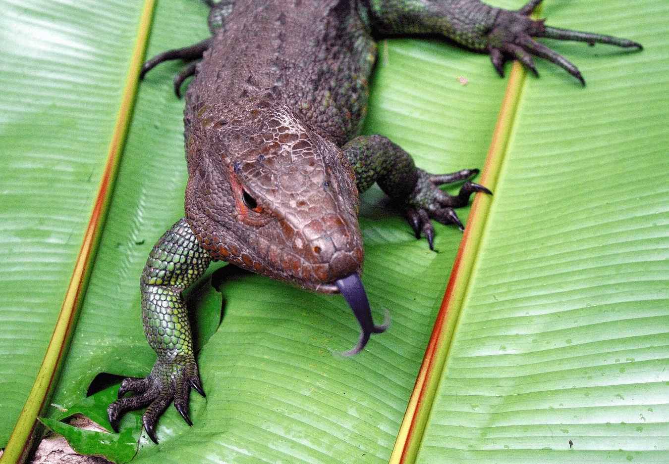
Emblematic species include the waddled curassow, jaguar, pink and grey river dolphins, the Arapaima fish, 11 primate species, the black, spectacled, and dwarf caimans, harpy eagle, hoatzin, scarlet, blue & yellow, and red & green macaws, white-lipped peccary, giant anteater, tegu, iguana, and caiman lizards, giant river otter and manatee, and lots of piranhas and armoured catfish, among many more magnificent species.


Habitat types of the Research Reserve in High and Low Water Seasons
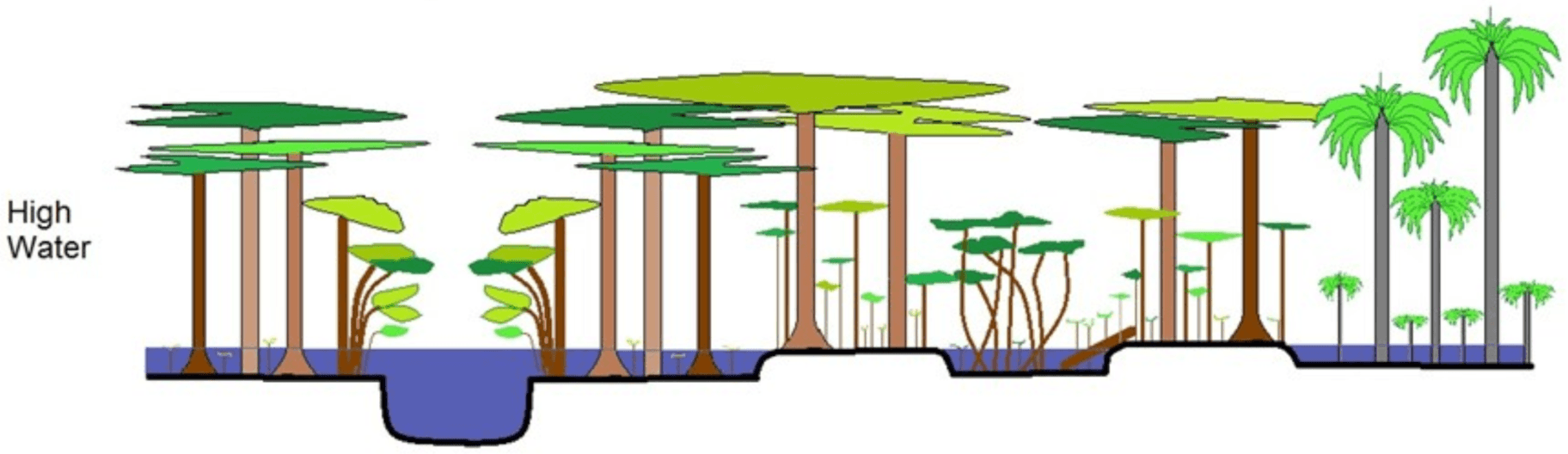
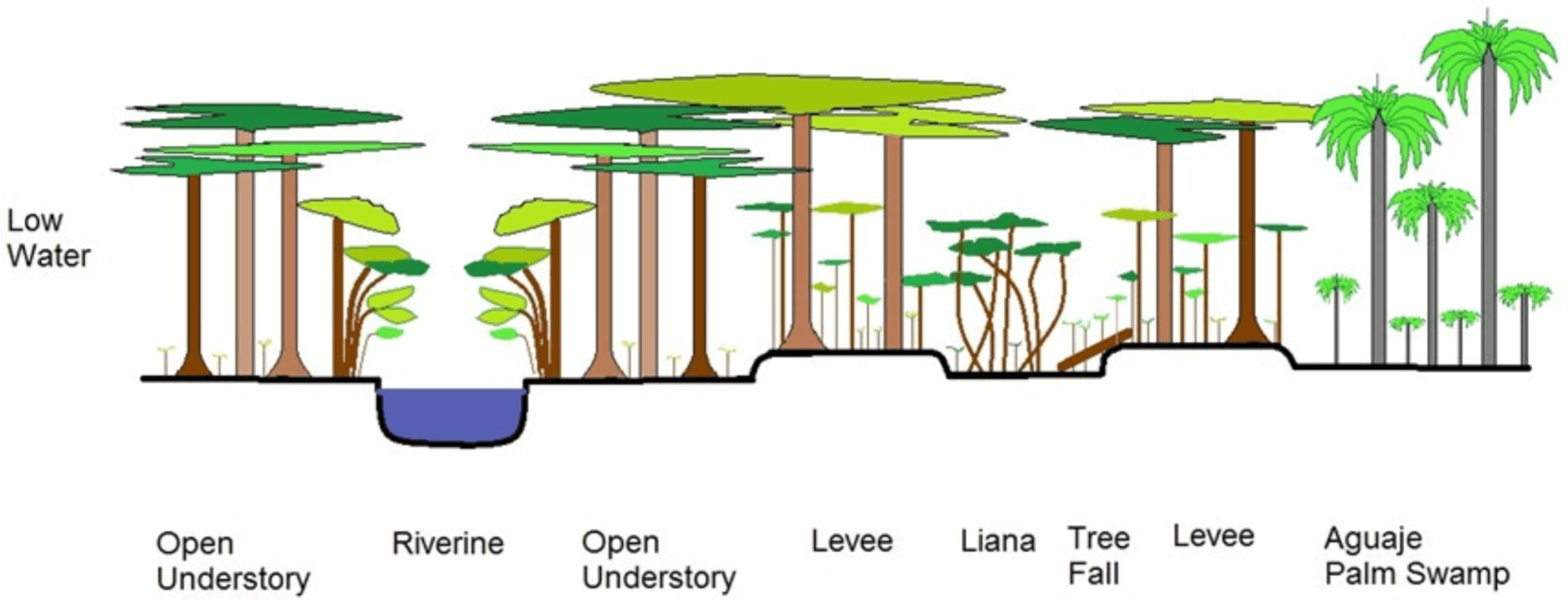
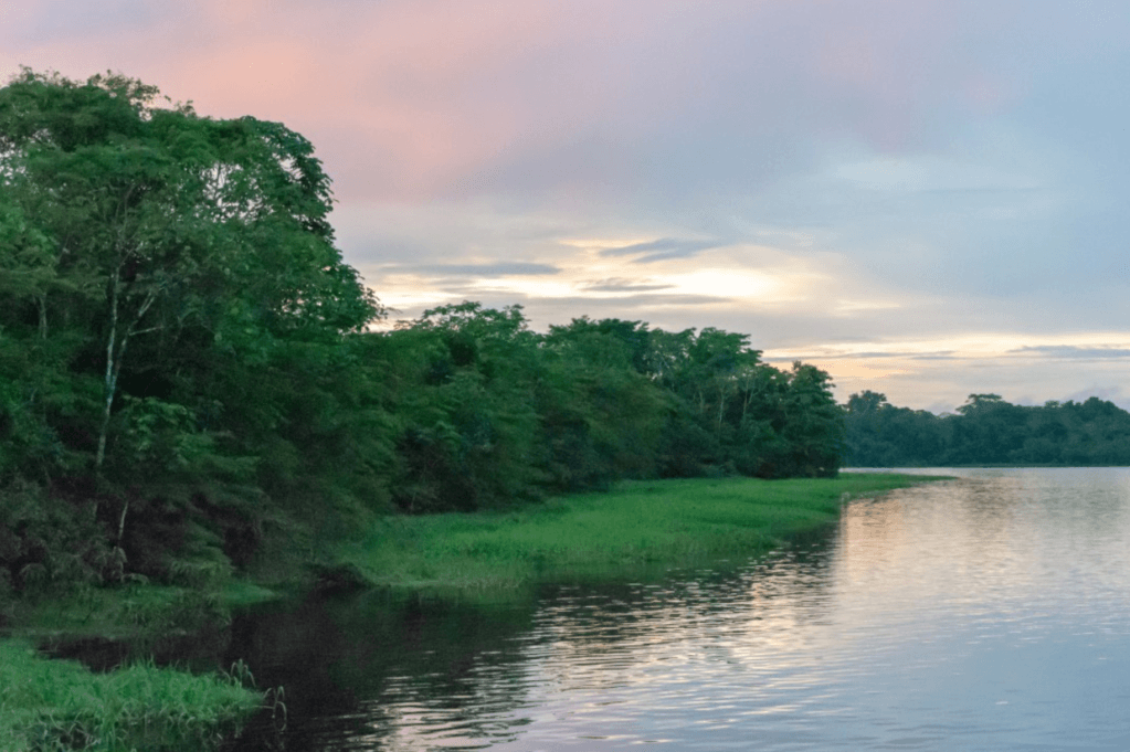
The climate in the region is typically equatorial with annual temperatures ranging from 22◦C–36◦C, a relative humidity of 80%–100%, and annual rainfall of 1,500–3,000 mm.
The Research Reserve has a predictable annual water level cycle that includes the high-water season from January -June, and a low water season from July-December.
Surveys on all the vertebrate groups, including some 400 species, are conducted monthly at the Research Reserve. In addition, vegetation plots are studied to examine plant changes in the flooded forests..
The principal habitat types of the Peruvian Amazon are a result of large-scale geological changes that occurred during the tertiary and quaternary periods. The Yarapa River basin is in a geological depression characterized by soft alluvial soils.
The Research Reserve is situated near the confluence of the two largest tributaries to the Amazon River in Peru, the Ucayali and Marañon Rivers. The Ucayali and Maranon Rivers have snaked back and forth across the flooded forests over the millennia leaving behind an abundance of oxbow lakes, channels, levees, and other geological features.
The flooded forests in the Research Reserve have soils rich in nutrients due to the sediments deposited when the murky water of the Ucayali and Maranon flow through the forests during the high-water period.
Whilst the soil of these flooded várzea forests is rich, the ecological conditions of long periods of flooding, up to 6 months, is very harsh on many plants and ground dwelling animals.
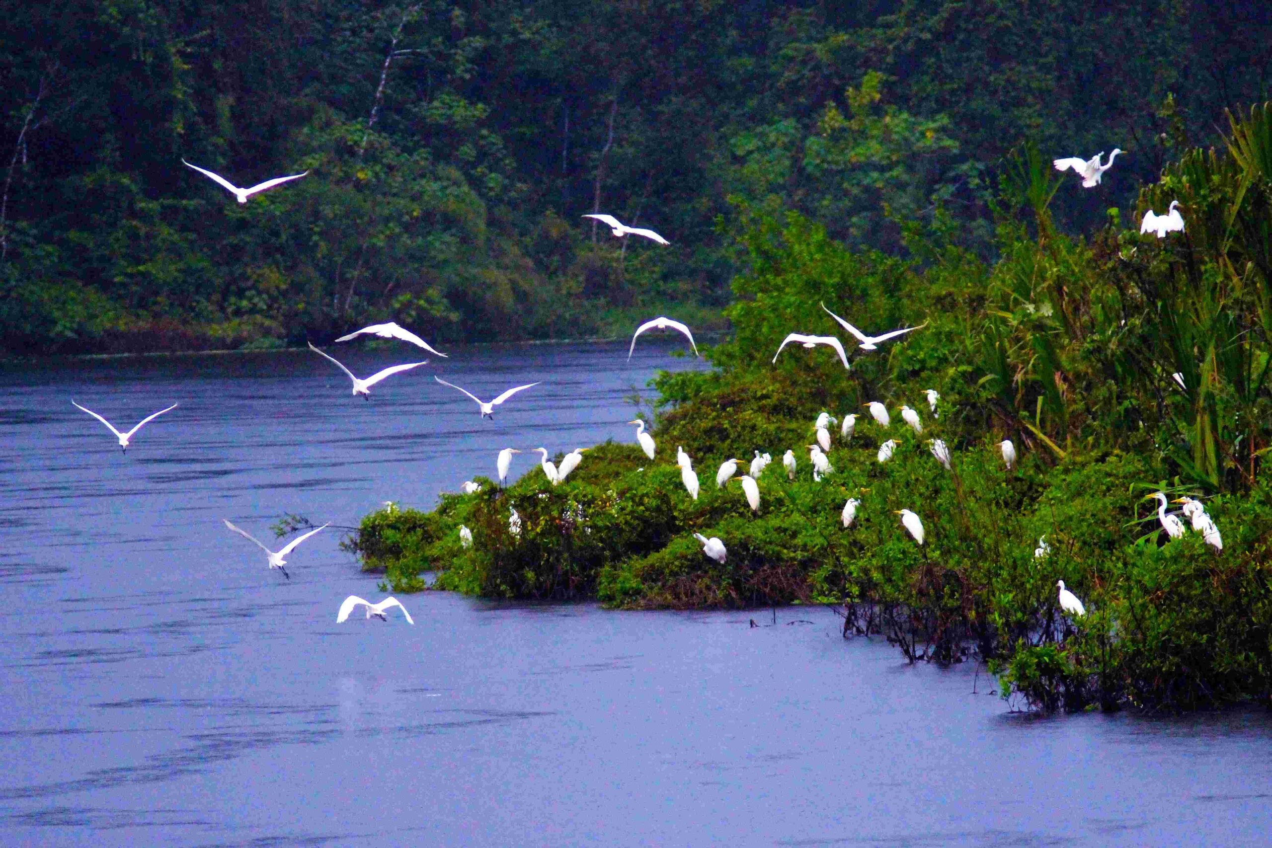
The wildlife of the flooded forest revolve around the large seasonal inundations. During the flooded periods the fish enter the flooded forests and feed on the abundance of vegetative and animal production, especially the abundance of fruits, invertebrates and other living organisms trapped by the annual floods. During the flooded period many fish reproduce in the inundated forests. When the waters recede during the dry months, fish populations become condensed in the reduced lakes, rivers and channels with ever increasing competition and predation. During this period many fish populations migrate out of the larger rivers. The dolphins and other shorebirds have an abundance of prey during the low water season.
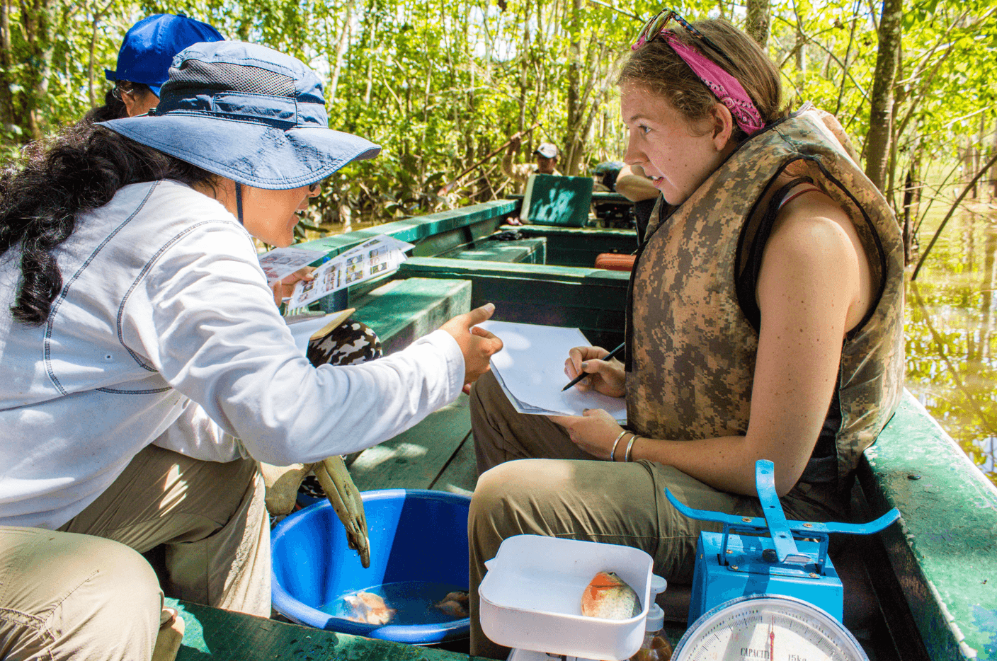
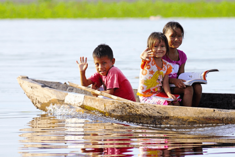
The people who live in the flooded forests also have adapted to the seasonal fluctuations in both the use of the natural resources and their agriculture. During the high-water season fishing is more difficult, since the fish are dispersed throughout the flooded forests. The local Indigenous people of the floodplain forests alter their hunting and fishing accordingly, with a greater emphasis on hunting during the high-water season and a greater focus on fishing during the low water season.
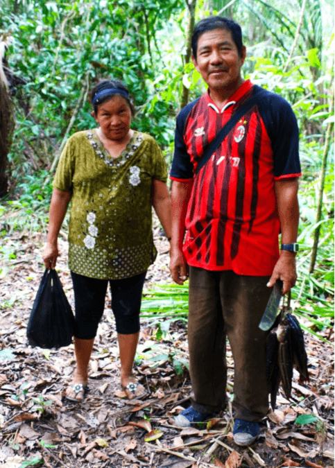
The agriculture of people in the flooded forests uses rich soils from the annual deposits of sediments but has a short growing period and crops need to be harvested before the floods return. Traditionally, people of the flooded forests have relied on the manioc as their staple agricultural product. Manioc has a short growing period that can be planted and harvested within the low water season. Manioc flour (fariña) is produced by baking pounded. Manioc flour can be stored throughout the year and supply carbohydrates to the people during the flooded periods when crops are scarse.
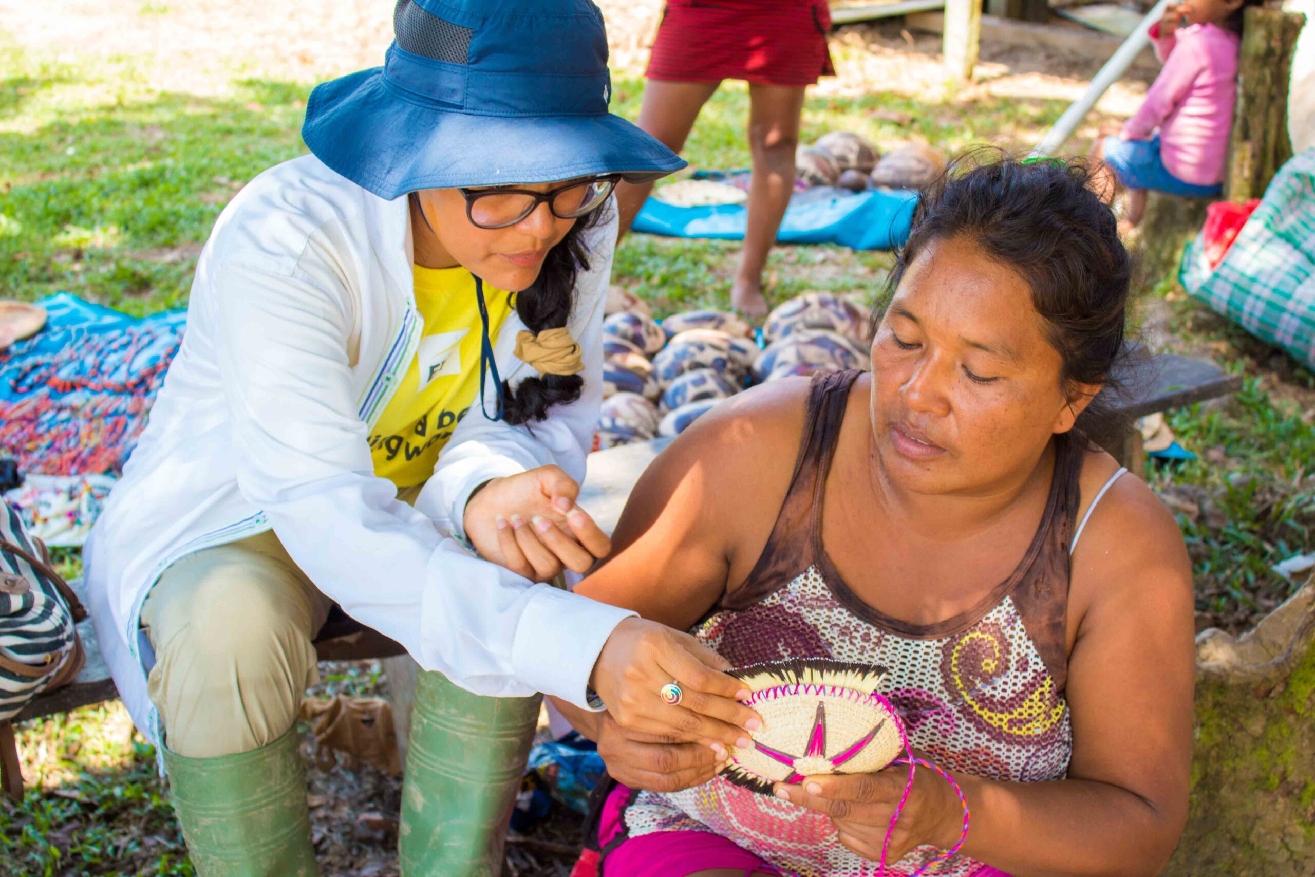
The Research Station works with the Indigenous communities of Jaldar, Nuevo Jeruslen, Castilla, Villa Belen, and San Joaquin de Omaguas with conservation, education, and health projects. Monthly support is provided to all five communities for health, education, community projects, resource management, among others. Extra support is provided at Christmas, at the start of the school year, and for their village anniversaries.
